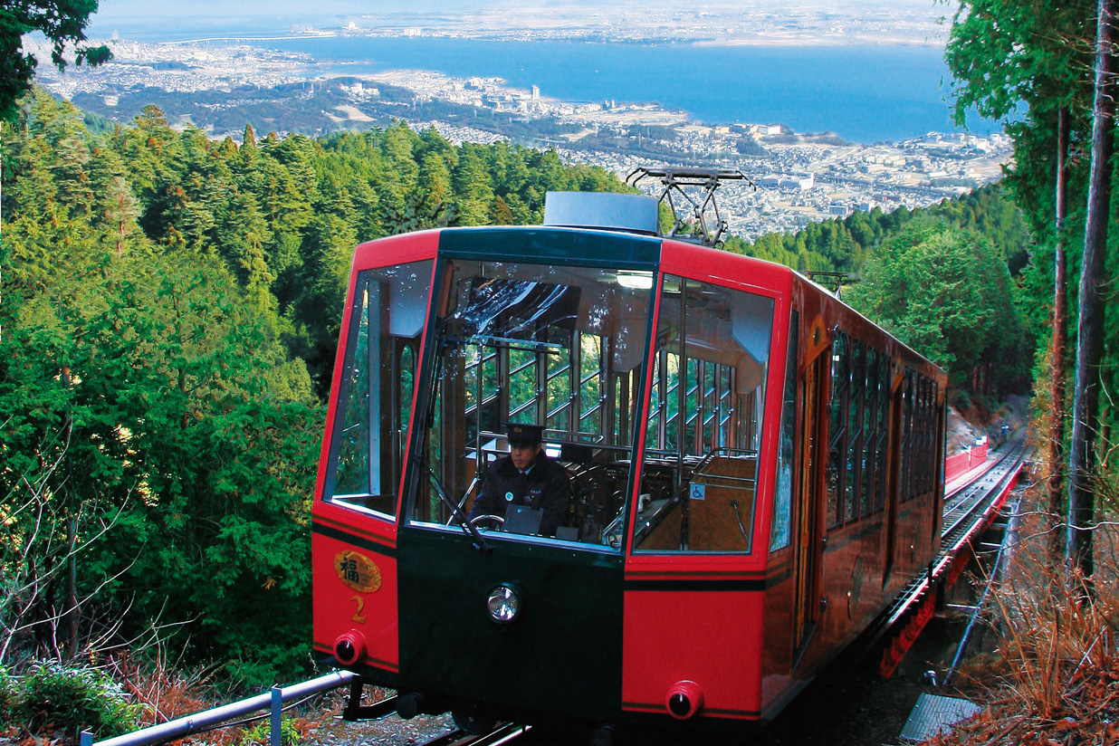
Sakamoto Cable
North central

Northern
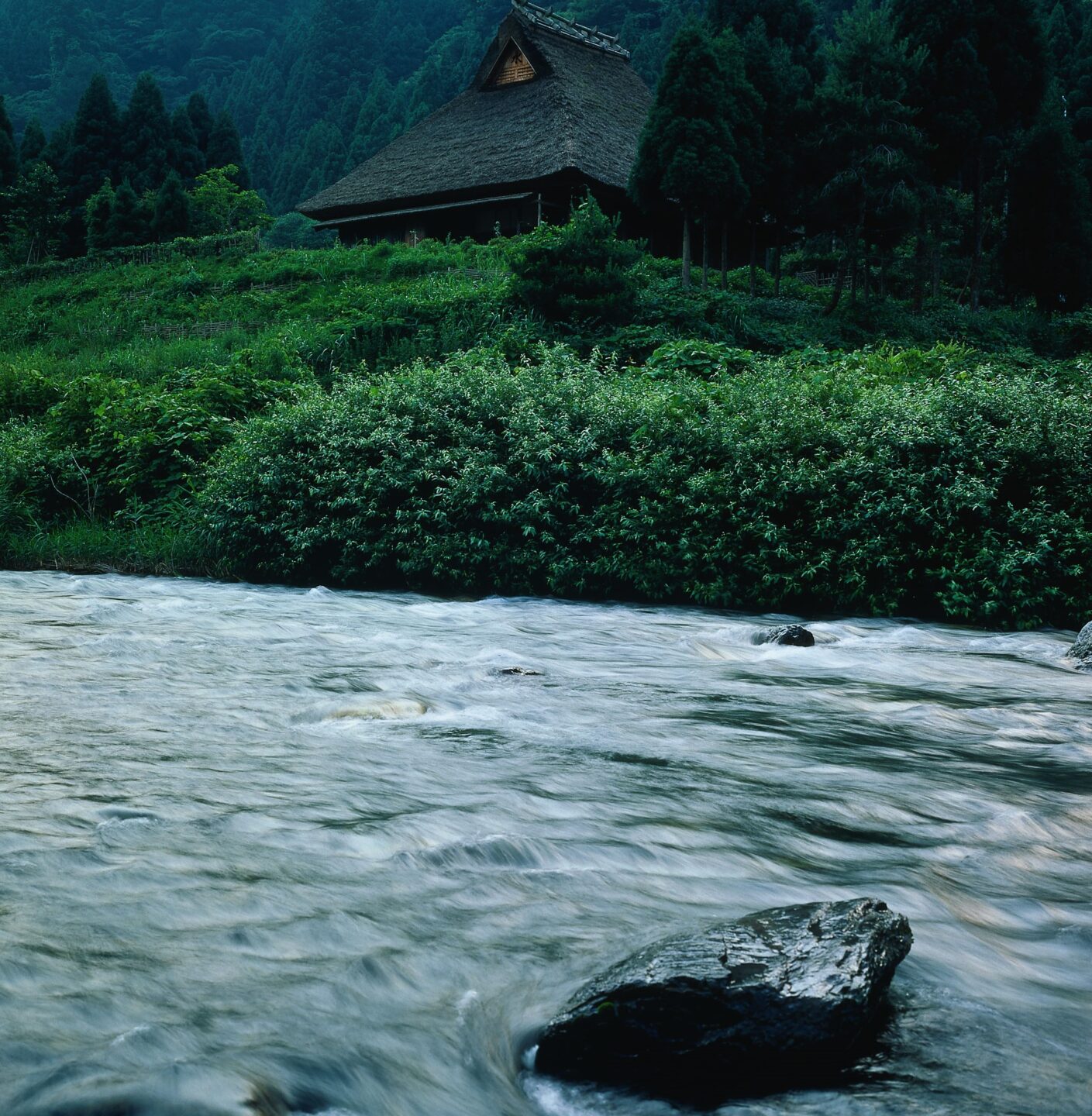
The upper stream of the Ado River stretches both north and south of the west side of the Hira mountain range, forming the scenic, rich in nature Katsuragawa Valley.
The Katsuragawa Valley was formerly a segment of the Saba Kaido (Mackerel Road), which was used to transport marine products from the former province of Wakasa (persent-day south Fukui Prefecture) to Kyoto.
Along the valley are Myoou-in Temple and Jishu Shrine, creating an atmosphere of sacredness.
During the spring/summer seasons, fishing for amago (land-locked variety of red-spotted masu trout) and iwana (char), not to mention ayu (sweetfish), as well as camping are popular activities.
No Dining & Souvenirs were found within a radius of 3km.
No Hotels & Ryokan were found within a radius of 3km.
Available (Free)